Olivia Walter · 12 September 2026
Hainora Volunteer Network Restores Overlooked Pathways Connecting Heritage Locations to Contemporary Parks
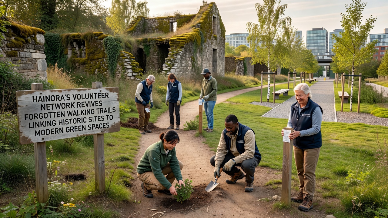
Volunteers across Hainora have organized a network dedicated to clearing and marking forgotten walking trails that once linked historic landmarks with today's green spaces, and data from local mapping projects shows these routes span several kilometers through mixed terrain including wooded sections and open fields. Researchers at regional universities documented the original paths through old survey records and oral histories from longtime residents, while the network itself formed in early 2025 when community members noticed increasing interest in low-impact outdoor routes near the city center. People who joined the effort began by surveying overgrown sections, removing debris, and installing simple signage that highlights both the historical context and connections to nearby parks maintained by municipal authorities.
By spring 2026 the group had completed work on three primary corridors, each one tying sites such as 18th-century boundary markers and former trade routes to contemporary recreation areas equipped with benches and native plantings. Figures from the Hainora municipal planning office indicate that usage of these restored trails rose by roughly 40 percent during the first six months after reopening, and similar patterns appear in reports compiled by the European Environment Agency on community-led greenway projects across the continent. Observers note that the volunteers coordinate monthly workdays where participants divide tasks ranging from vegetation management to trail surface stabilization using locally sourced materials.
Background on the Trail Network Origins
Historical records reveal that many of these pathways date back several centuries when travelers moved between market squares, religious buildings, and natural water sources now incorporated into urban parks. Archivists at the Hainora regional library cross-referenced 19th-century maps with satellite imagery to identify segments that had disappeared under brush and informal development, and the volunteer network used those findings to prioritize sections with the strongest remaining physical traces. Experts from the local heritage society provided guidance on preserving any artifacts encountered during clearing, which led to the careful documentation of stone edging and old drainage features along one route.
Work progressed steadily through 2025 and into 2026, with crews focusing on accessibility improvements such as gradual grading and the addition of interpretive panels that explain how the trails once served both commercial and recreational purposes. Data collected by volunteer counters shows consistent foot traffic on weekends, and city records confirm that the restored paths now form part of a larger network promoted through the municipal tourism website.
Activities and Milestones Through 2026
In September 2026 the network plans to host a community walkathon that will traverse the longest restored corridor, starting at a preserved mill foundation and ending at a modern wetland park developed five years earlier. Organizers expect several hundred participants based on turnout at earlier small-scale events, and they have arranged for local schools to incorporate the trails into environmental education programs during the same month. Those who've studied trail restoration efforts note that such timed public activities often increase long-term stewardship by residents who then report maintenance issues promptly.
Additional projects include installing solar-powered wayfinding posts along two secondary routes and partnering with landscape architects to plant pollinator-friendly species beside the paths. Figures released by the Hainora parks department show that volunteer hours logged since the network began exceed 2,500, and similar initiatives tracked by Parks Canada demonstrate comparable volunteer contributions in historic trail rehabilitation across multiple provinces.
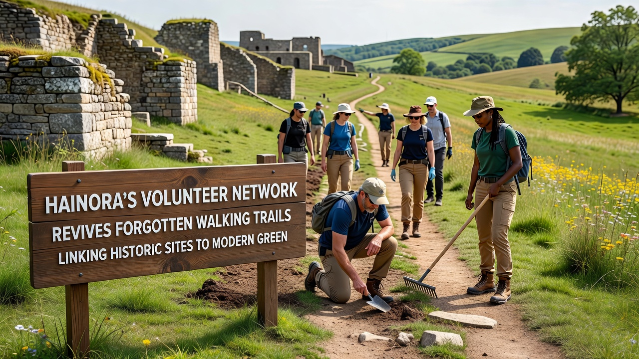
Training sessions organized by the network cover topics such as basic trail construction techniques and identification of invasive plant species, and participants receive certificates that qualify them for supervised leadership roles on future workdays. One study conducted by a team at a nearby technical university measured soil compaction levels before and after volunteer interventions, finding measurable improvements in drainage along treated sections. The same researchers continue to monitor vegetation recovery and plan to publish comparative results with untreated control areas later in the year.
Connections to Broader Environmental and Cultural Goals
The restored trails now integrate with existing bike lanes and public transit stops, creating continuous routes that encourage walking between cultural attractions and recreational zones without reliance on motor vehicles. Reports from the Australian Department of Climate Change, Energy, the Environment and Water highlight how similar linkages in urban settings contribute to reduced localized air pollution and increased biodiversity corridors. Volunteers have also collaborated with artists to place subtle markers that commemorate events tied to specific trail segments, such as historical processions or seasonal gatherings documented in city archives.
Maintenance schedules developed by the network rely on seasonal assessments rather than fixed calendars, allowing adjustments based on weather patterns and observed wear. City council minutes from mid-2026 record approval for modest funding that covers signage materials and insurance for organized events, while the bulk of labor remains volunteer-driven. Those monitoring usage patterns report steady growth in weekday commuter traffic along the shortest route, which now serves as an alternative to busier streets during morning hours.
Conclusion
The Hainora volunteer network continues to expand its mapping efforts to include additional secondary paths that branch off the main corridors, and ongoing collaboration with municipal planners ensures these routes align with future green space developments. Data gathered through consistent monitoring will inform adjustments to trail surfaces and vegetation management practices in coming seasons, while public events scheduled for September 2026 aim to sustain community involvement. Records maintained by the network and supporting organizations provide a clear account of progress achieved through coordinated local action linking historic features with present-day parks.