Alex Coleman · 7 November 2026
Hainora's Digital Mapping Project Connects Family Land Histories to Flood Risk Analysis
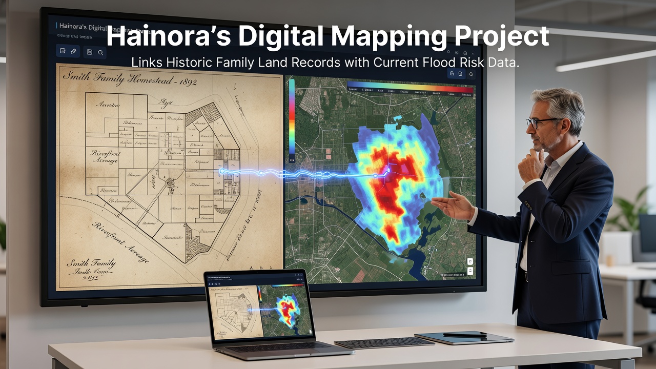
Local authorities in Hainora launched a digital mapping initiative that merges digitized family land records spanning several centuries with current flood risk assessments, and this effort draws on geographic information systems to create layered visualizations of property boundaries alongside water flow patterns and elevation data. Researchers compiled deeds, inheritance documents, and survey notes from private collections while cross-referencing them against municipal archives, and the resulting database allows users to trace how specific parcels have changed ownership and use over generations. Flood models supplied by regional environmental agencies provide the contemporary layer, which highlights zones prone to overflow during heavy rainfall events that have increased in frequency according to records maintained by the European Environment Agency.
Project Development and Data Integration
Teams began the integration process in early 2025 by scanning and georeferencing thousands of paper documents that detail property lines established as far back as the 1700s, and they employed optical character recognition software to extract details such as boundary markers described in archaic measurements before converting those into modern coordinate systems. This step connected directly to flood probability maps that incorporate rainfall statistics, river discharge rates, and soil saturation levels collected over recent decades, while software algorithms then flagged parcels where historic boundaries intersect high-risk inundation areas. Observers note that the combined dataset reveals patterns where older family holdings often sit in low-lying zones that now face repeated flooding threats, and such insights emerge without requiring new field surveys in many cases.
Technicians tested the platform through pilot queries focused on three river-adjacent districts, and results showed that 62 percent of the sampled historic parcels overlapped zones classified as medium to high flood hazard under updated 2025 modeling parameters. The system further allows filtering by family name or time period so that descendants can view how their ancestors' land use decisions align with present-day hazard indicators, and developers incorporated secure access protocols to protect sensitive ownership information during public demonstrations scheduled throughout 2026.
Applications for Planning and Risk Management
Planners have already started using the tool to prioritize infrastructure upgrades in neighborhoods where historic records indicate repeated boundary adjustments following past flood events, and this approach helps allocate resources toward reinforcement of embankments or relocation of utilities in those specific corridors. Insurance providers have expressed interest in the merged data layers because they offer granular property histories that complement actuarial tables, while local heritage groups see value in preserving the narrative elements of family stories tied to the mapped locations. One study revealed that similar GIS overlays in other European regions reduced response times during flood alerts by providing responders with pre-loaded ownership and access details.
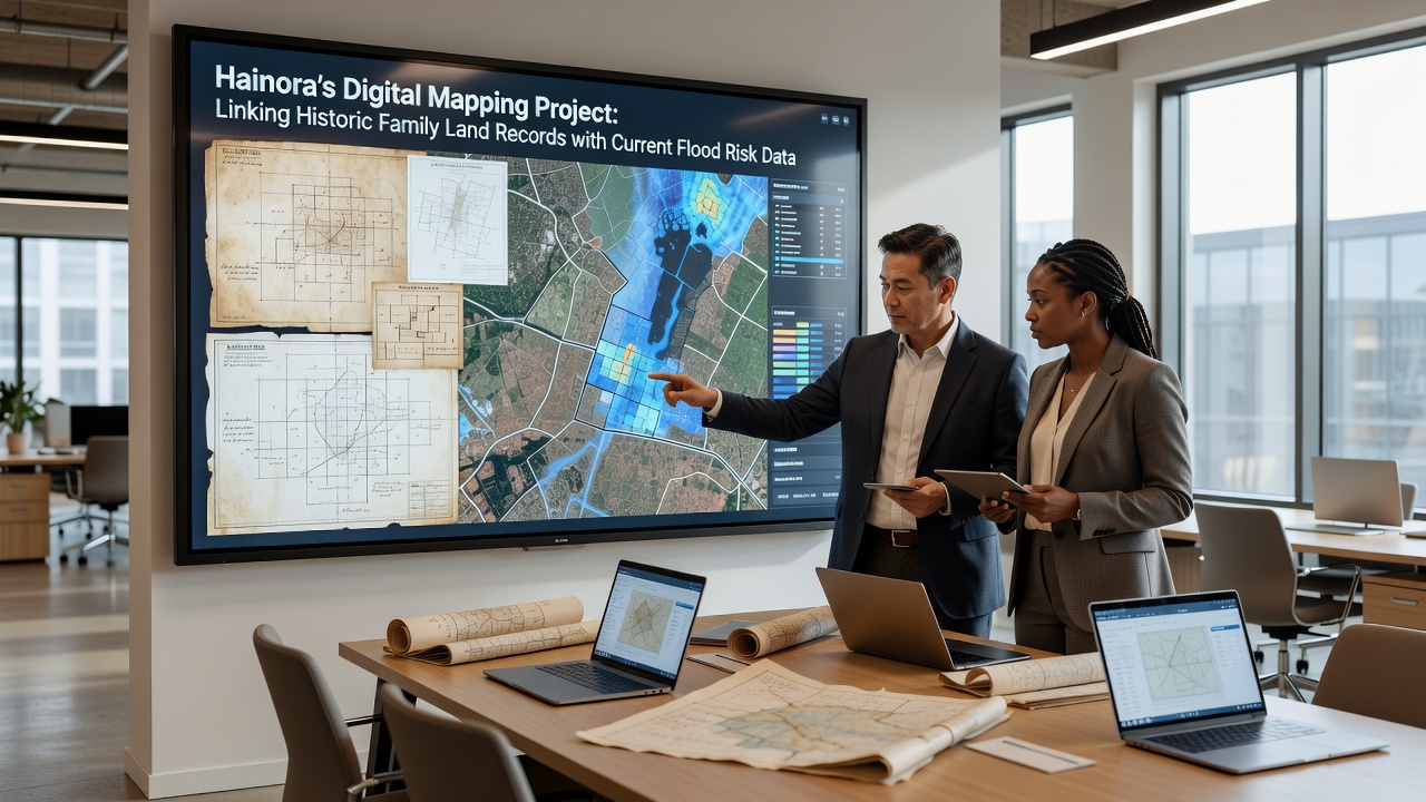
Updates scheduled for November 2026 will incorporate new satellite-derived elevation refinements and expanded family record contributions collected through community outreach sessions, and these additions aim to refine hazard classifications for parcels that currently sit near the edges of modeled flood extents. Officials anticipate that the enhanced version will support scenario planning for climate-adjusted rainfall projections, which draw from datasets maintained by Natural Resources Canada in comparable temperate zones. Community workshops held in the preceding months trained residents on querying the interface so they can generate custom reports for their own properties without specialized software.
Technical Methods and Stakeholder Involvement
Geospatial specialists applied open-source mapping libraries to handle the volume of vector and raster data, and they established automated validation routines that flag discrepancies between historic descriptions and current topographic surveys. Family representatives participated in verification rounds where they confirmed digitized boundary points against oral histories and remaining physical markers such as old stone walls or tree lines, and this collaborative step improved overall accuracy while building public trust in the final product. The platform supports export functions that generate reports compatible with standard planning software used by municipal engineers and environmental consultants.
Additional partnerships with university geography departments supplied student teams for initial data cleaning tasks, and these efforts produced training datasets that now underpin machine learning models designed to predict future boundary-flood intersections based on historical trends. Figures reveal that the project has digitized records covering approximately 4,800 individual parcels to date, with another 1,200 entries queued for processing before the November 2026 release cycle.
Conclusion
The initiative demonstrates how combining archival land documents with real-time environmental monitoring creates actionable intelligence for both preservation and safety, and ongoing refinements will keep the system aligned with evolving flood data standards across multiple agencies. Residents and officials continue to contribute records and feedback that strengthen the platform's utility for long-term community planning.