Olivia Walter · 24 October 2026
Young Volunteers in Hainora Chart Overgrown Historic Routes for Hikers and Researchers
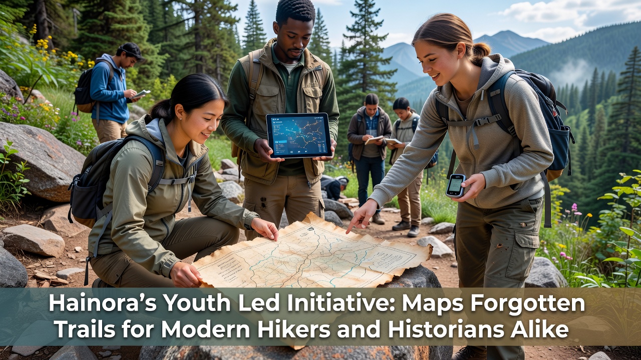
Groups of young people across Hainora have taken on the task of locating and recording trails that fell out of use decades ago, and their work combines field surveys with archival research to create updated maps that serve both recreational users and those studying regional history. The effort draws on local knowledge passed down through families along with records from earlier centuries, which together help identify paths once used for trade, travel between settlements, and access to natural resources.
Participants begin each project by cross-referencing old land deeds and traveler accounts with satellite imagery and on-the-ground inspections, and this method has already located several routes that connect former market sites with current park boundaries. Data collected during these outings includes GPS coordinates, elevation changes, and notes on visible remnants such as stone markers or cleared corridors through vegetation. Organizers schedule regular sessions throughout the year, with a major documentation push planned for October 2026 that will focus on routes near the river valley.
Methods Used by the Mapping Teams
Teams divide responsibilities so that some members handle digital recording while others photograph and measure physical features along each path, and the resulting information feeds into open-access databases that hikers and historians can consult. Equipment ranges from handheld GPS units to simple compasses and notebooks, which keeps the process accessible for volunteers of varying experience levels. Partnerships with regional archives supply additional documents, allowing cross-checks that confirm trail alignments dating back several generations.
Training sessions cover basic cartography skills and safety protocols for working in remote areas, and these workshops often include input from local environmental groups that track changes in plant cover or wildlife activity. The approach avoids heavy machinery, relying instead on manual clearing of light overgrowth only where necessary for safe passage during surveys. Results appear in both printed trail guides and interactive online layers that users can filter by era or terrain type.
Connections to Local Heritage and Recreation
Many of the rediscovered paths link directly to sites mentioned in 19th-century accounts of commerce between Hainora and neighboring communities, which gives historians new material for understanding economic patterns of that period. At the same time, the updated maps help current hikers plan loops that combine scenic views with stops at preserved structures or viewpoints. One route now marked on community boards passes near the old mill foundation that once powered grain processing for the area, and signposts installed by volunteers note both the historical use and the present-day walking time from the nearest trailhead.
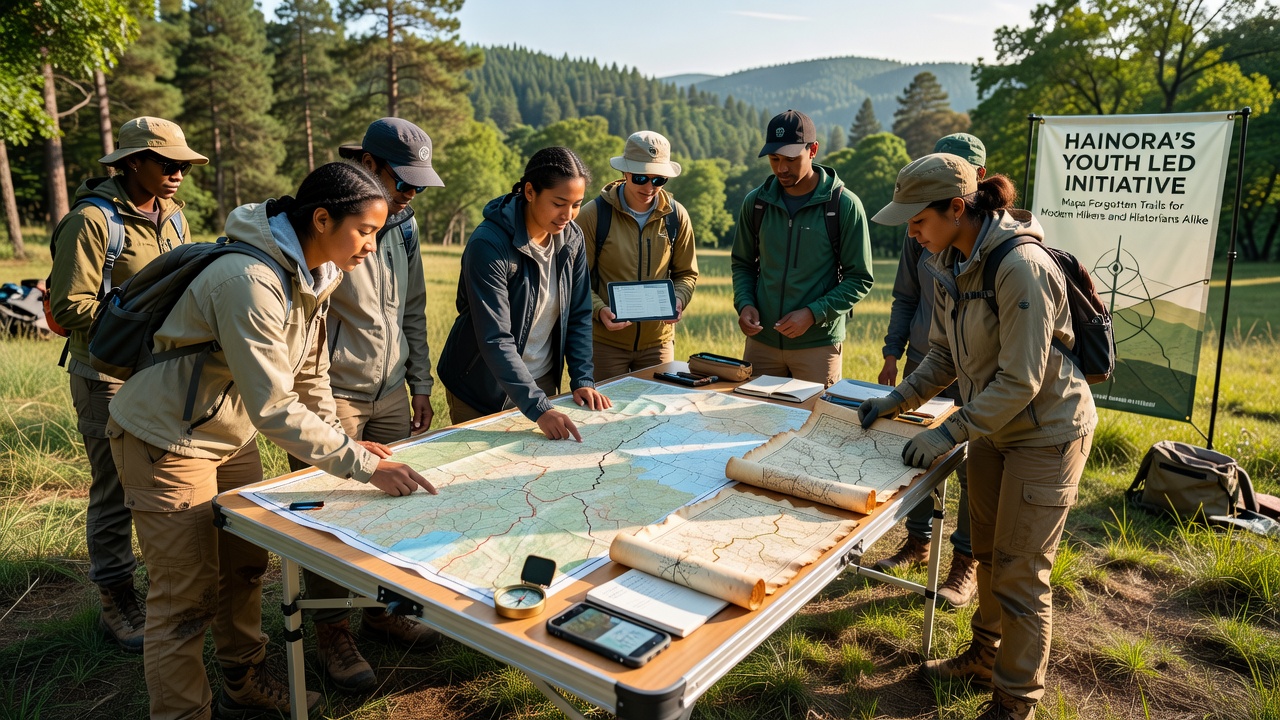
Usage statistics gathered by the local parks authority show increased visits to these restored sections compared with previous years, and the data aligns with broader trends reported by the U.S. National Park Service on rising interest in heritage corridors. Similar projects in other regions have produced comparable outcomes, according to reports from Europarc Federation studies on European walking networks. Local schools have begun incorporating the maps into geography lessons, which extends the reach of the initiative beyond the original volunteer base.
Challenges Encountered During Fieldwork
Weather shifts and seasonal vegetation growth sometimes obscure markers that volunteers recorded only months earlier, requiring repeat visits to maintain accuracy in the database. Property boundaries also create occasional complications when trails cross private land, and teams address these situations through direct conversations with landowners to secure permission for continued access. Equipment limitations in areas with dense tree cover affect GPS precision, so backup methods such as compass bearings and landmark sketches fill the gaps until better satellite reception returns.
Funding for materials and training comes from small grants and community donations, which supports the purchase of durable signage and the maintenance of shared mapping software. Volunteers track expenses in public spreadsheets so contributors can see how resources support ongoing work. The October 2026 campaign will test new low-cost drone imaging techniques on a limited stretch of trail, with results compared against traditional ground surveys to evaluate efficiency gains.
Future Steps and Community Involvement
Expansion plans call for extending coverage to additional watersheds and linking the new maps with existing regional trail systems maintained by municipal authorities. Public feedback sessions allow residents to suggest overlooked paths or report changes noticed during their own outings, and these contributions help refine priorities for the next mapping cycle. The initiative maintains an online portal where anyone can download the latest route files or submit corrections based on personal observations.
Conclusion
Through consistent fieldwork and record-keeping, the youth-led mapping effort continues to produce practical resources that integrate historical context with current recreational needs, and the October 2026 phase will add further detail to routes already under study while opening several new sections for public use. The combination of volunteer energy and archival research demonstrates how local groups can sustain long-term documentation projects that benefit multiple user groups without requiring large institutional budgets.